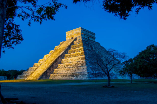
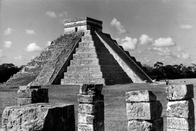
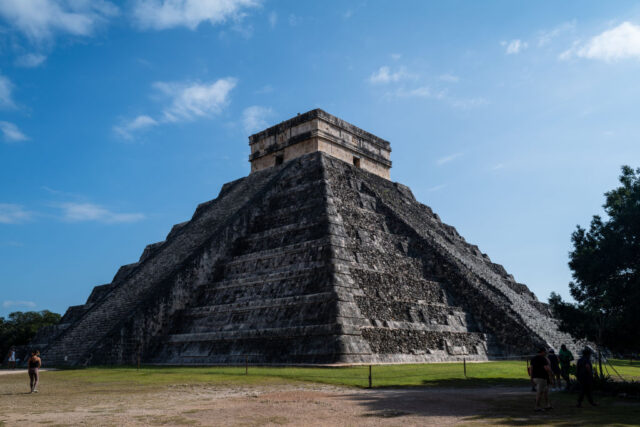
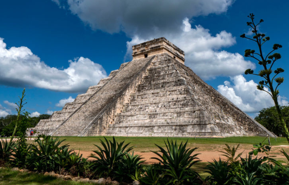
An incredible discovery was made in 2015, when experts learned that the El Castillo pyramid at Chichén Itzá was built atop a subterranean river. According to the team from Mexico’s National Autonomous University, the waterway is located some 20 meters beneath the ground and could serve as part of a Mayan-era symbolic map.

The discovery of the underground river at El Castillo was made via an electrical resistance survey, when metal probes are inserted into the earth to read the resistance of electrical flow. Based on this resistance, experts can differentiate between rock, water and air-filled caverns.
The waterway measures 25 by 35 meters. While the pyramid doesn’t sit directly atop its entire span, one corner does, which puts the structure at risk of collapsing, due to degradation caused by the running water and high-humidity conditions.
“Such structures change over time, because the water washed off the walls and the cavity may be increasing. At some point, if the thickness of the rock below the pyramid is thinned, there could be a problem of stability and El Castilla will collapse,” Geophysics expert Rene Chavez Segura told The Daily Mail.
It should be noted that such an event wouldn’t occur for several generations.

In an interview with The Associated Press, Chavez Segura added that the subterranean river beneath the El Castillo pyramid is covered by rock, meaning it’s somewhat protected. What’s more, similar waterways are known to connect cenotes – small pools created by sinkholes in limestone – that mark much of the Yucatán Peninsula.
The dicovery is also important because it further supports the theory that the Mayans used such locations and waterways as part of symbolic maps. As The Associated Press reports, “The cenotes that surround the pyramid could represent the four points of the compass. The river at the center might represent the center of the Maya’s universe, which they thought of as a tree with roots reaching below ground.”

More from us: Pompeii Discovery Unveils Secrets About Life As a Slave in Ancient Rome
Chichén Itzá was one of the largest cities to exist during the Mayan civilization. The 30-meter-high El Castillo pyramid, which sits at its center, was built between the 8th and 12 centuries as a temple dedicated to Kukulcán, a Feathered Serpent diety.
