Like us on Facebook
Follow us on Instagram
 

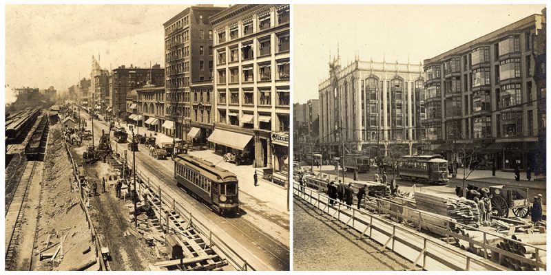
Vintage photographs documenting the building of the Boylston Street Subway

The Boylston Street Subway is a tram tunnel which lies primarily under Boylston Street in Boston, Massachusetts. In operation since 1914, it now carries all four branches of the MBTA Green Line from Kenmore Square under the Back Bay into downtown Boston, where it joins with the older Tremont Street Subway. Photos: City of Boston Archives/Flickr
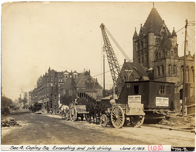
Section 4, Copley Square, excavating and pile driving.


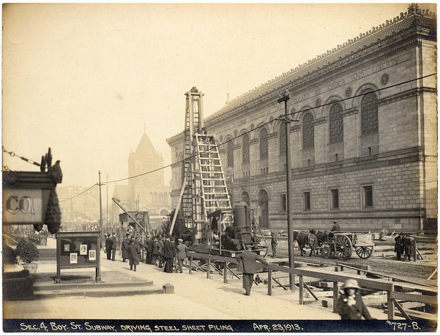
Section 4, Boylston Street subway, driving steel sheet piling.


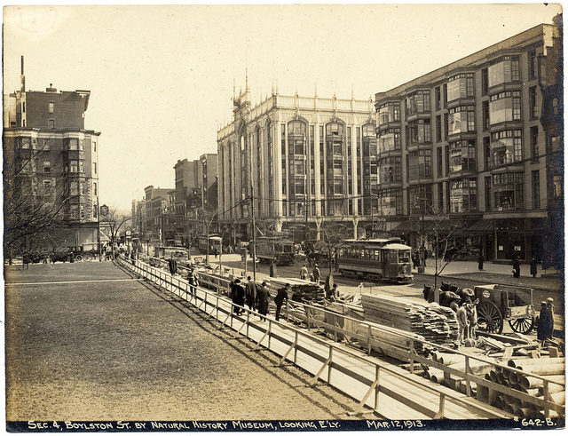
Section 4, Boylston Street by Natural History Museum, looking easterly.


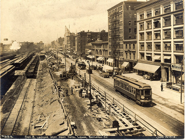
Section 3, looking west from Hotel Lenox.


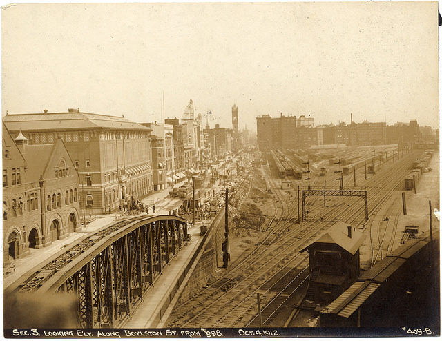
Section 3, looking easterly along Boylston Street from 998 Boylston Street.


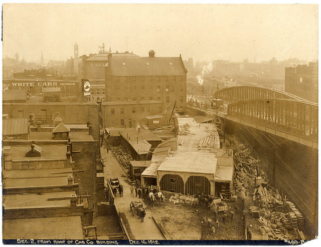
Section 2 from roof of Cab Company building.
Section 2 from the roof of Cab Company building.

The eastern end of the tunnel is at the Tremont Street Subway, just west of Boylston station near the intersection of Boylston Street and Tremont Street next to Boston Common. It then runs westward under Boylston Street; Arlington station is located at Arlington Street, and Copley station is at Dartmouth Street in Copley Square.
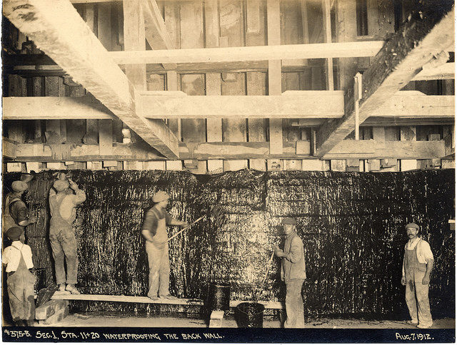
Section 1, stations 11 and 20, waterproofing the back wall.


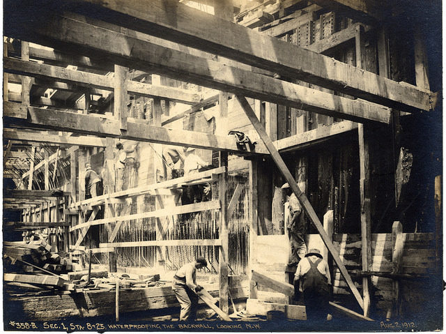
Section 1, stations 8 and 25, waterproofing the backwall, looking northwest.


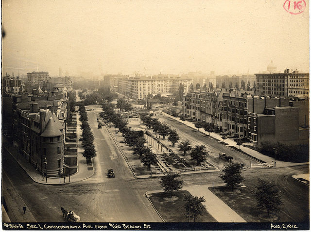
Section 1, Commonwealth Avenue from 660 Beacon Street.


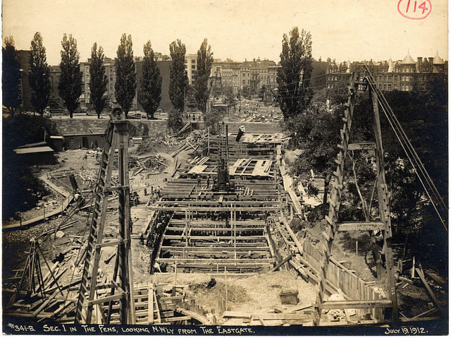
Section 1 in The Fens, looking northwesterly from The Eastgate.


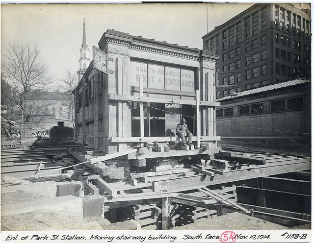
Park Street Station, moving stairway building, south face.


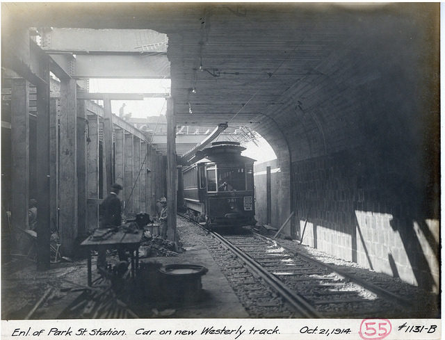
Park Street Station, car on new westerly track.
Park Street Station, car on a new westerly track.

The Huntington Avenue Subway branches off to the south just to the west of Copley. The main line continues west under Boylston Street; at Hereford Street, it curves northward into Hynes Convention Center station at Massachusetts Avenue, then runs west under Newbury Street and the Muddy River and into Kenmore station at Kenmore Square.
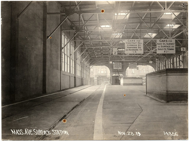
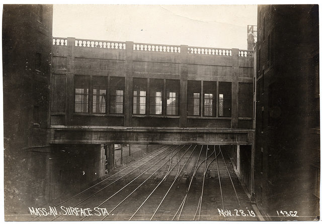
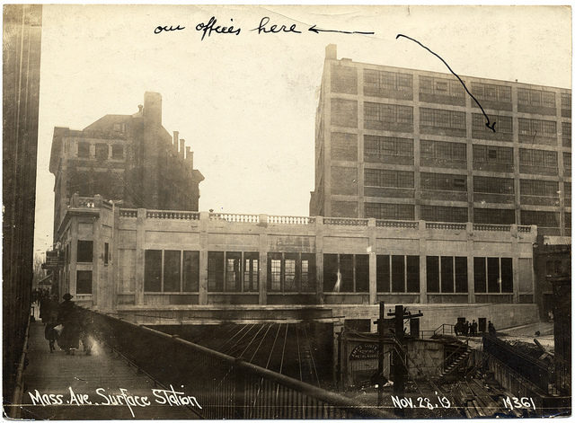
Massachusetts Avenue surface station.


Massachusetts Avenue surface station.


Massachusetts Avenue surface station 2.


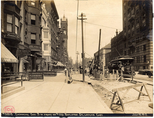
Excavating section 3 in front of 729 Boylston Street, looking east.


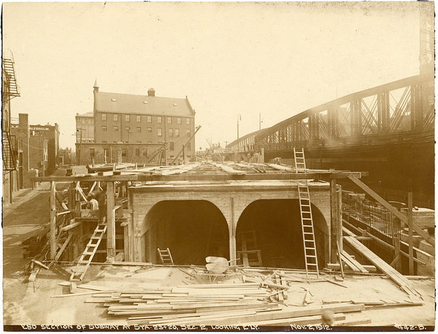
End section of subway at stations 23 and 20, section 2, looking easterly.


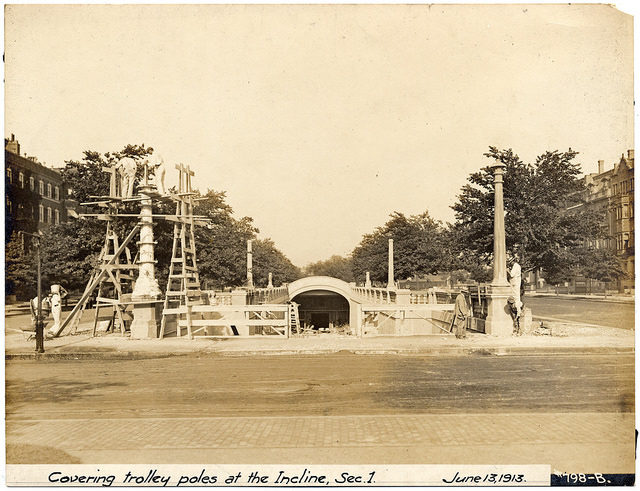
Covering trolley poles at the incline, section.

The depth of the tunnel varies based on street considerations and other geography. At Arlington, Hynes Convention Center, and Kenmore, the tunnel is substantially below street level, and the stations have below-ground fare mezzanines offering access to both platforms; at Copley, the tunnel is shallower, and the fare gates are at the platform level, with a free crossover to reverse direction not possible. The deepest section of the tunnel is under the Muddy River, in the Fenway neighborhood of Boston.
David Goran

David Goran is one of the authors writing for The Vintage News