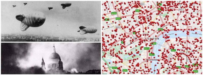
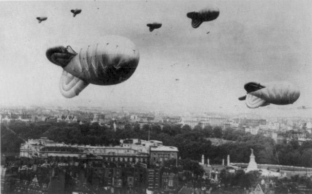
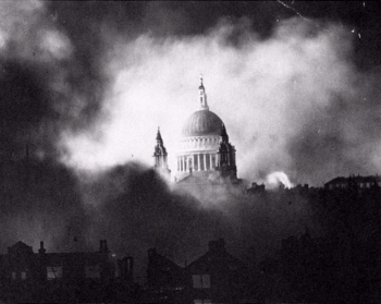
The Blitz, from the German word for ‘lightning’, was the name applied by the British press to the heavy and frequent bombing raids carried out over Britain in 1940 and 1941, during the Second World.
Between 7 September 1940 and 21 May 1941, 16 British cities suffered aerial raids with at least 100 long tons of high explosives. Over a period of 267 days, London was attacked 71 times.
More than one million London houses were destroyed or damaged and more than 40,000 civilians were killed. 75 years after London has recovered from the Blitz, the citizens can now reconnect with history and see if a Nazi bomb had fallen at their property.
The web page Bomb Site allows residents to explore London during WW2 Luftwaffe Blitz bombing raids offering detailed maps of where each bomb fell between 7 October 1940, and 6 June 1941.
Londoners can search the maps using street names and boroughs with an exact timeline displaying where and when the bombs fell on the first night of the Blitz.
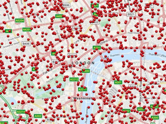
This project is being carried out by the National Archives, web and design experts and by researchers at the University of Portsmouth, assembled using the bomb census map from 1940 to 1945.
Compiled using the Bomb Census Map collected during the Bomb Census Survey 1940 to 1945, the project is being carried out by researchers at the University of Portsmouth, the National Archives, and web and design experts.
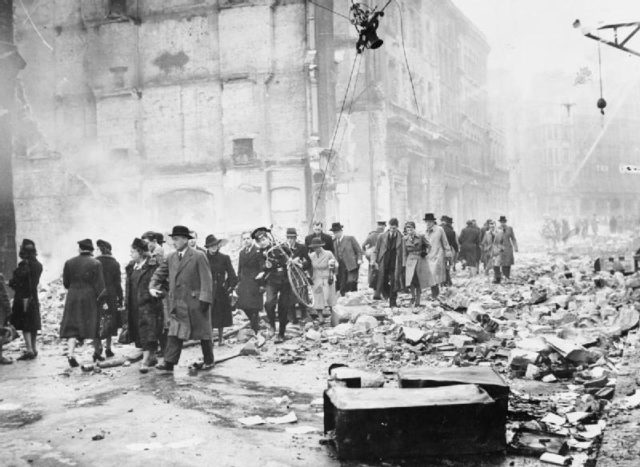
“When you look at these maps and see the proliferation of bombs dropped on the capital, it does illustrate the meaning of the word Blitz, which comes from the German meaning lightning.”
Dr Kate Jones, the University of Portsmouth geographer told BBC News
“It seems astonishing that London survived the onslaught.”
Also available as an Android App, Bomb Site offers professional historians as well as history enthusiasts to discover where the bombs fell with the help of GPS. Check out the web page to explore the deconstruction of London during the Blitz.
