There was once a huge lake in the middle of the Sahara Desert, it was named Mega Chad and it only took a few hundred years to shrink to a fraction of its original size.
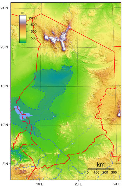
Scientists believe Mega Chad covered 139,000 sq. miles in Central Africa before it began evaporating 1000 years ago.

The shrinking of the lake actually helped the Amazon Rainforest to grow; strong winds picked up fertile dirt from the lake bed and carried it across the Atlantic, fertilizing the jungle.
The science team wrote: “A reconstructed lake level history for the ancient Lake Mega-Chad, once the largest lake in Africa, suggests that a North African humid period, with increased precipitation in the Sahara region, ended abruptly around 5,000 years ago, and that the lake’s Bodélé basin, now a large source of atmospheric dust, may not have dried out until around 1,000 years ago.”

The shrinking of the lake happened drastically; in just a few hundred years the lake dried up, which is much faster than previously thought.
The remaining lake is called Lake Chad; it is still quite large at 137 sq. miles, but it is still only a tiny fraction of what it once was.
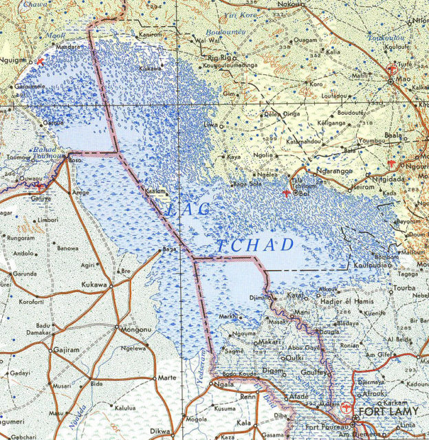
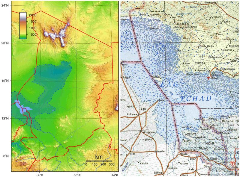
To give you an idea on how big the lake would have been, the current Lake Chad already crosses the borders of Chad, Niger, Nigeria, and Cameroon but is still being shrunk by humans siphoning water from it.
That small blue part of the picture below is the current Lake Chad, while the red outline is how big Mega Chad would have been.

In a statement, Dr. Simon Armitage of Royal Holloway’s geography department said: “The Amazon tropical forest is like a giant hanging basket. In a hanging basket, daily watering quickly washes soluble nutrients out of the soil, and these need to be replaced using fertilizer if the plants are to survive. Similarly, heavy washout of soluble minerals from the Amazon basin means that an external source of nutrients must be maintaining soil fertility. As the World’s most vigorous dust source, the Bodélé depression has often been cited as a likely source of these nutrients, but our findings indicate that this can only be true for the last 1,000 years.”
Researchers from Royal Holloway, Birkbeck, Kings College and the University of London use images of abandoned shorelines to map out the decline of Mega Chad, which they got from satellite imagery.
They the collected lake sediments and used them to get a timeline of how old the lake was, the lake level history spans 15,000 years. The research was then published in the journal Proceedings of the National Academy of Sciences.
