Powerful storms hit the coast of Suffolk back in the 13th and 14th centuries with such ferocity that they caused the once-thriving town of Dunwich to first lose its harbor, then part of its town to the sea. Scientists are able to analyze the sediment from the cliffs in the area, where the town once stood, to find evidence of the storms that lashed the coast. It is thought that the weather events of 1286, and later of 1326, are what started the decline of this previously prosperous town. Without a harbor, the town wasn’t able to trade as easily, and it declined both economically and physically.
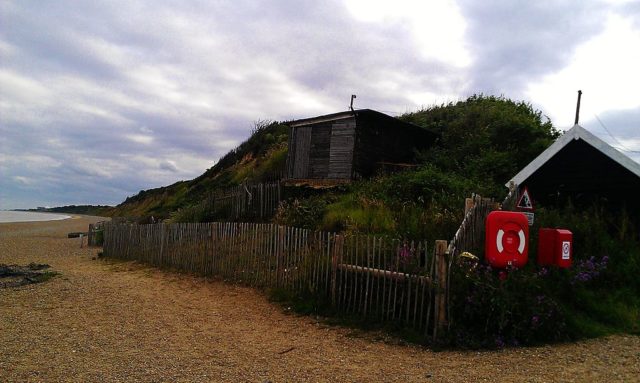
Present day Dunwich is a village 14 miles south of Lowestoft in Suffolk. The original Dunwich has been dubbed as “Britain’s Atlantis” as the ruins lay just off the coastline.

In 2008, started a project to survey the underwater ruins. As technology improved, an advanced 3D scanner was used by a team from the University of Southampton. It has created the most accurate map of the town, with streets, boundaries, and major buildings clearly marked on the new map. New ruins have also been picked up by the machine. Scientists will be using the data collected to predict where the coastline used to be.
By using old information device such as maps, charts, and guides, the old town has been mapped, and scientists are sure they know the location of every important place or object.


The extreme storms that swept up the coast in 1286 pulled in heavy amounts of sediment, and silted up the Dunwich River. One storm followed another storm until the harbor became silted up. This closed the port, which at the time was an important international port.
The storms that caused this were part of some severe weather changes as the warm medieval climate started to move into the Little Ice Age, Mail Online reported.

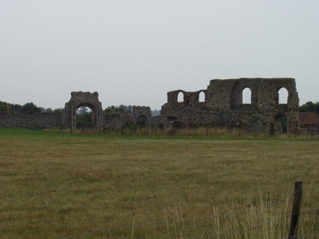
Archaeologists have found additional ruins and at least 74 archaeological sites appropriate for possible investigation. By using the new technology, the size of the town has now been revealed as being 1.8 km squared. They have found some ruins which they are hoping are the ruins of St. Peter’s, Blackfriars Friary, and the Chapel of St. Katherine.
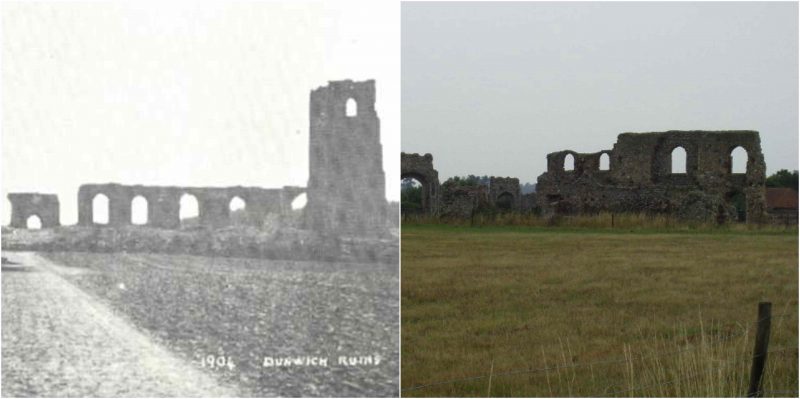
It is thought that back in the Roman period the shoreline was 2,000 meters further out than it is today. In 1736, the All Saints church of the town was still above the water line; by 1912 it was teetering on the cliff edge, and now it is underwater. The water around this piece of coast is heavy in sediment still, and that was pretty challenging for the mapping of the ruins. Even today, he coastline is still eroding from weather conditions.
