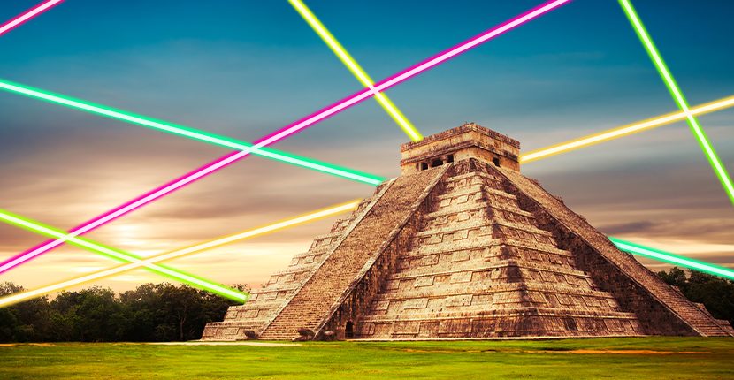
Experts scanning the Guatemalan jungle with cutting edge tech have made some astonishing discoveries about the Ancient Mayans. The latest results — found via laser mapping — are to be shown in a documentary for the National Geographic Channel.
The three year project, covering a reported 5,000 sq miles (14,000 sq km,) has been underway for a while. Breakthroughs were announced last year — however, the consortium of explorers from around the world have just located some surprising, and in some cases shocking, finds.
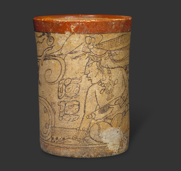
These include the regal remains of a king and queen who have lain undisturbed in the ancient northern city of Holmul. The presence of pottery is significant to Tulane University archaeologist Francisco Estrada-Belli, who identified an elaborate “vase” bearing the ruler’s name. Only one other example of such a tribute has been uncovered.
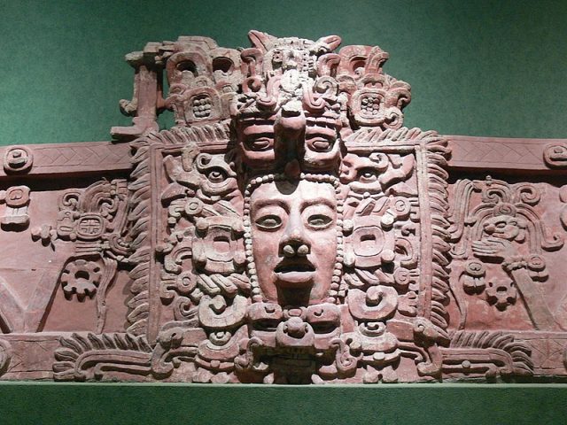
Instead of holding flowers, this vase is actually a pot for drinking chocolate, an important source of sustenance for the Mayans. They are believed to have discovered and processed cocoa in the first place. These vessels were associated with royalty but could be passed on to others of high stature.
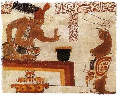
Speaking to the Guardian, Estrada-Belli revealed, “on certain important occasions a king would invite his allies and his under-lords and would have some of these vases made for himself and then he would donate them to his closest allies. We think this is why this individual, who is definitely not the person named on the vase, got to have it.”
In addition to deceased royalty, a decidedly non-glamorous find takes the form of a young skull. Reference is made to “a skull discovered in an underground submerged cave and apparently used as an incense burner”.
Further finds shed light not only on religious ceremonies but also defenses and transportation. Around 60,000 structures have already been identified. The majority of these are “thought to be stone platforms that would have supported the average pole-and-thatch Maya home” according to a BBC article from 2018.
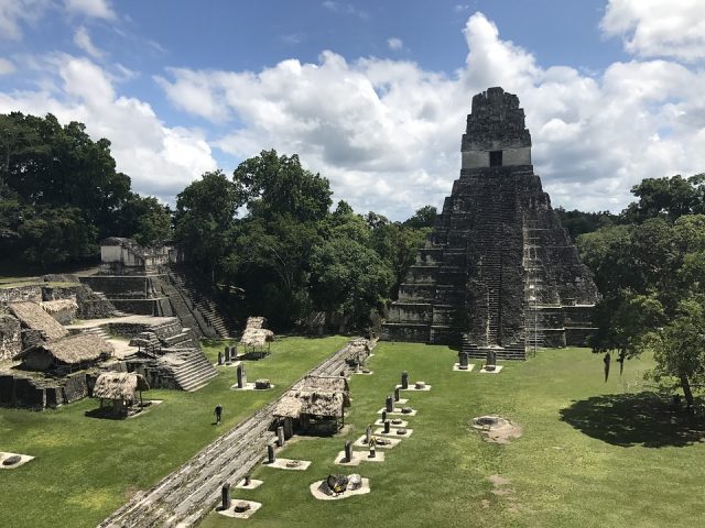
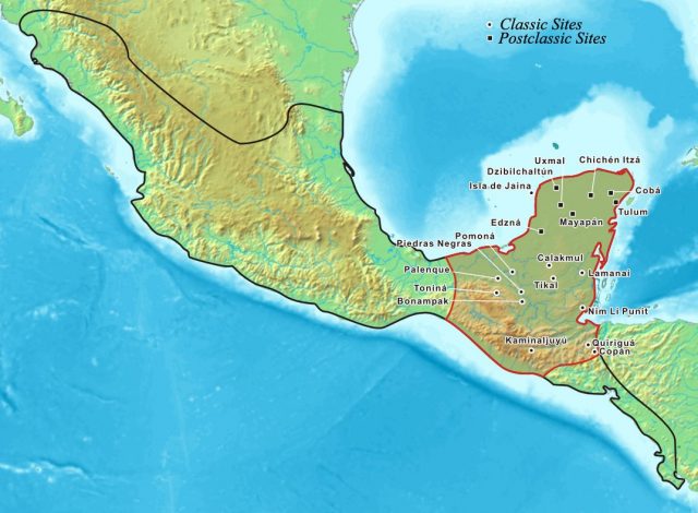
History.com writes the Maya Empire was “centered in the tropical lowlands of what is now Guatemala” and “reached the peak of its power and influence around the sixth century AD.” Why they faded away isn’t known. While much has been written and assumed about the empire, the jungle has grown over many of its secrets.
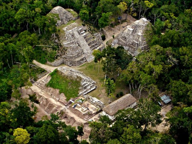
The BBC reported that a “complex network of causeways linking all the Maya cities in the area” was mapped using the laser system, known as LIDAR (Light Detection And Ranging). They say “ the raised highways, allowing easy passage even during rainy seasons, were wide enough to suggest they were heavily trafficked and used for trade.”
But how does the laser mapping process work? The website Explain That Stuff! points out the difference between this method of exploration and others such as radar and sonar. Beaming pulses from the air, using a plane or helicopter, the team fire “invisible laser beams in all directions, catching the reflections, and measuring how long the beams take to return so it can figure out what obstacles are nearby and how far away they are.”
Related Video on the Mayans:
Unlike other techniques, “reflected laser light turns out to be a better source of information than either radio waves or sound, and that’s why LIDAR has become so popular: it’s simple, reliable, and relatively low-cost.”
It has gone on to become a life saver for the archaeological community. “The highly accurate measurements are then used to produce a detailed three-dimensional image of the ground surface topography”, writes the BBC. In the case of the Guatemalan jungle, natural obstacles like tree canopies can be removed digitally to give experts an unprecedented look at Mayan ruins.
Related Article: Strange but True: Ancient Mayans used chocolate as money
The population that used to live in this ancient and innovative culture were thought to have been approximately 5 million. Thanks to the latest developments, this figure could be trebled.
As the project continues, it’s hoped centuries-old questions will finally get some answers. Prof. Stephen Houston of Brown University commented, “I think this is one of the greatest advances in over 150 years of Maya archaeology… I know it sounds hyperbolic but when I saw the [Lidar] imagery, it did bring tears to my eyes.”
