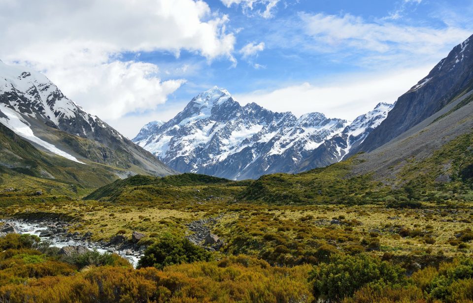
New Zealand is racing against the clock to make itself ready for a potentially massive earthquake along the country’s Alpine Fault. This fault, located along the country’s South Island, has a history of sudden movements. Scientists believe that the country is due for a large-scale earthquake and are working together to prepare themselves for the inevitable.
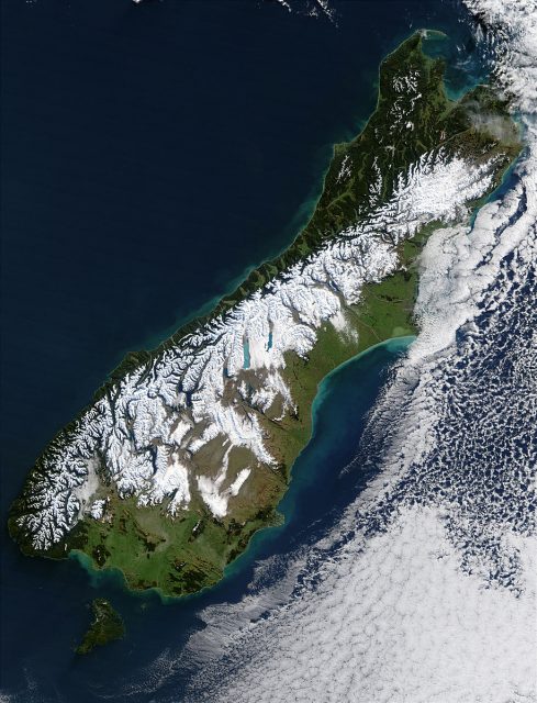
The Alpine Fault is an 850-kilometer geological fault that runs along the mountainous spine of the South Island, physically marking where the Australian and Pacific plates meet and grind against each other, which in turn forms the Southern Alps.
A new study published in April 2021 puts the probability of an earthquake on the central section of the fault at 75% in the next 50 years. This is a massive jump in percentage as previous studies placed the probability of an earthquake around 29%. Scientists believe that such an earthquake will be of magnitude 8 or higher.
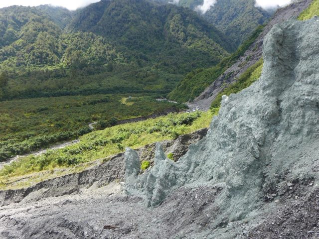
The team of researchers from Victoria University of Wellington, the University of Otago, GNS Science, the University of California, and the United States Geological Survey studied evidence of 20 previous Alpine Fault earthquakes over a 4000-year period.
The evidence was recorded in the sediment of four West Coast lakes (Lakes Kaniere, Mapourika, Paringa, and Ellery) and two swamps. The results of this study were some of the most complete earthquake records of its kind in the world.
To obtain their data, the research team drilled down six meters and extracted a cross-section of the lake bed, which revealed a literal line-by-line snapshot of its history.
The strong shaking during earthquakes deformed layers of sediment, causing them to collapse and blend together. The vibration also weakened material at the edge of the lake, which caused underwater landslides.
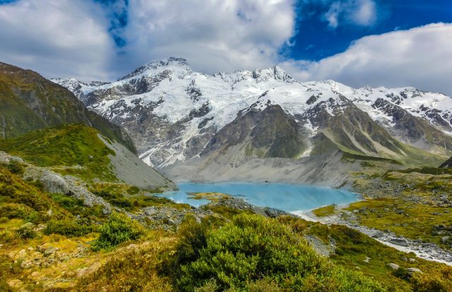
These landslides deform the perch layers of sediment that would have otherwise been there. After an earthquake, there is an increase in erosion because the sediment from the earthquake-induced landslides is transported to the lakes.
By studying the history of earthquakes along the Alpine Fault, a pattern emerges. According to past earthquakes along the fault, it appears that there are very big shifts occurring on average about every 300 years. The last magnitude-8 quake along the fault line happened in 1717, which ruptured 380 kilometers of the fault. According to this pattern, an earthquake is due to hit sooner rather than later.
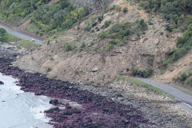
Knowing that an earthquake is inevitable, the next step for researchers is preparing the communities around the fault. According to this study, South Island communities are most likely to face the most impact from an earthquake along the fault.
The New Zealand government has ramped up its research and preparedness efforts over recent years. Most notable is Project AF8 — a multi-regional collaboration between the six South Island and the Wellington Civil Defence emergency management groups.
Detailed plans have now been put in place for coordination of the first seven days of response following a severe Alpine Fault earthquake, along with a squad of specially trained emergency managers who can go wherever they are needed the most on short notice to support local teams.
More from us: The Real-Life ‘Jaws’ Of The Jersey Shore
There are also concerns over specific spots along the fault that pose a significant threat. Scientists have warned against any future development at the Franz Josef Glacier, as some of the buildings in the area could become displaced in the next earthquake. Similarly, a proposal explored the idea of shifting the entire township 10 kilometers away to Lake Mapourika.
